We train on the instrument, not on slides
Practical training programmes led by practising engineers, delivered on real instruments at real sites — so you leave able to work from day one.

Training Department — Iraqi Surveyor Office
The training and development department of Al-Asas Al-Raseen operates under Iraqi Surveyor Office — the name we are known by on social media, built on applied engineering content and the training of surveyors across Iraq.
Every course is led by a practising engineer rather than a theory lecturer, and each trainee receives an office-accredited certificate of completion.
Training venue: Al-Jame'a District, Baghdad, Iraq
Training Programmes
Select any course to see its full details, then message its instructor directly on WhatsApp.
01
Comprehensive Surveying Development Course
Eng. Musab KadhimSurvey Engineering
Comprehensive Surveying Development Course
Overview
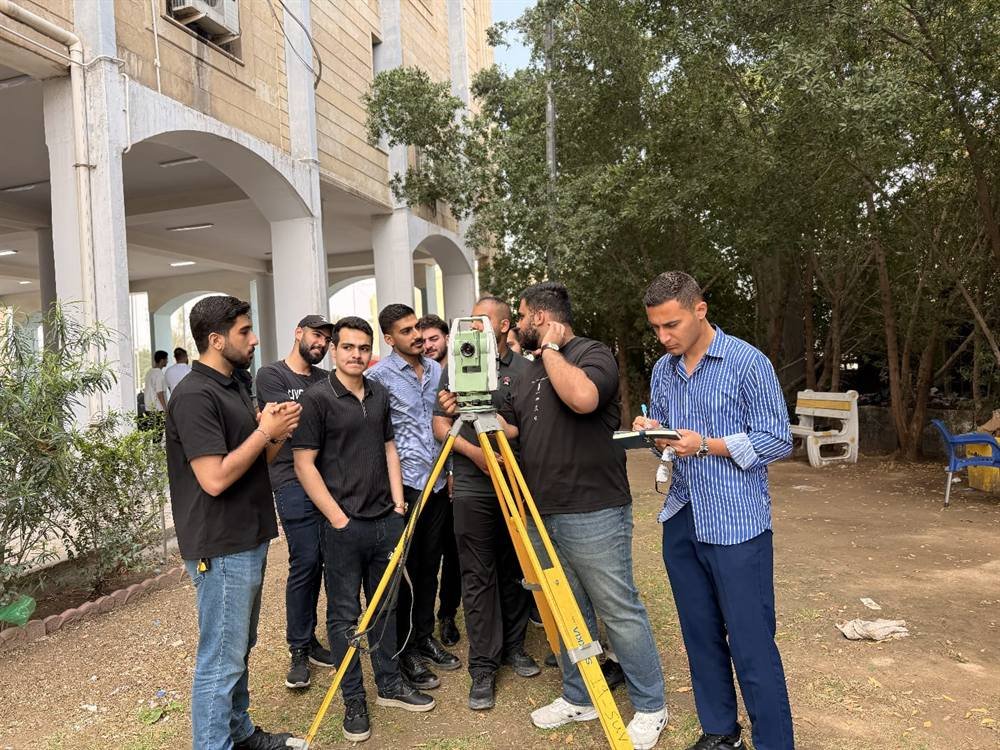
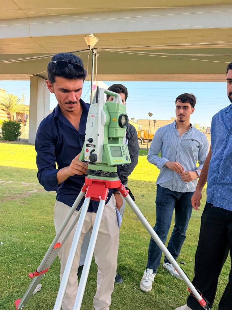
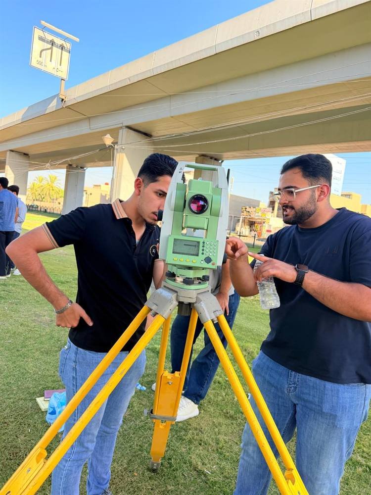
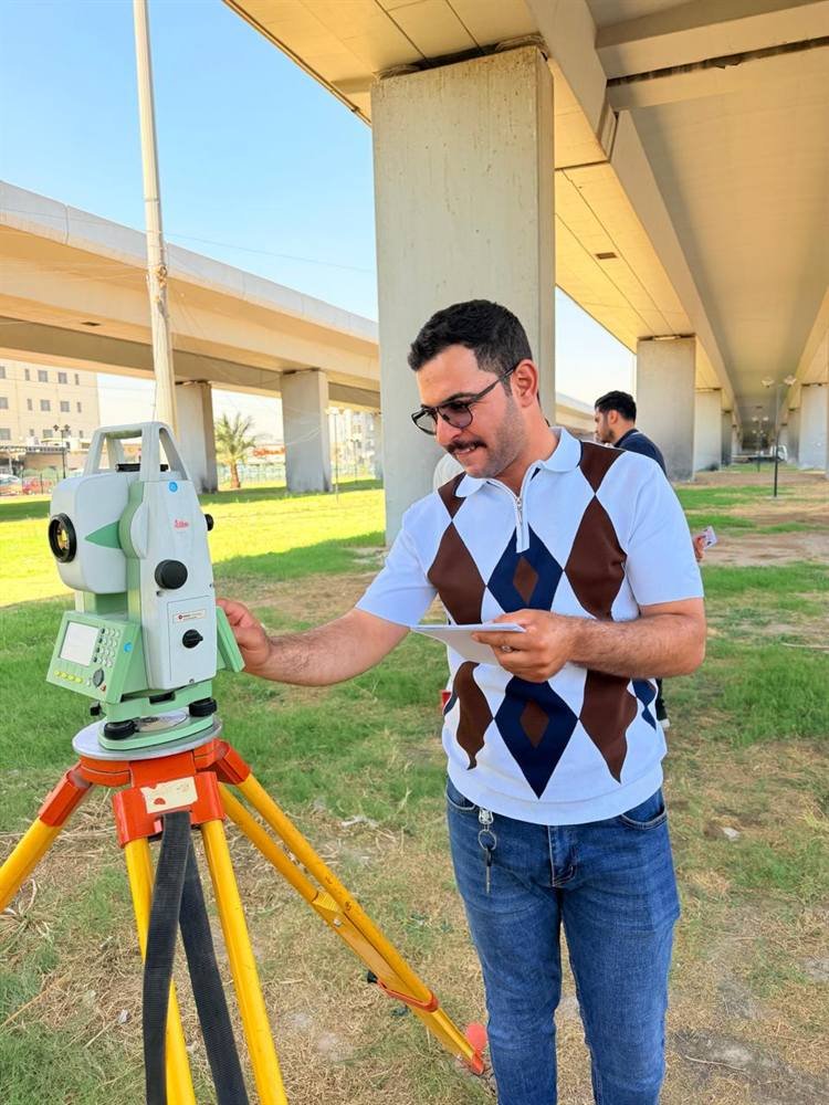
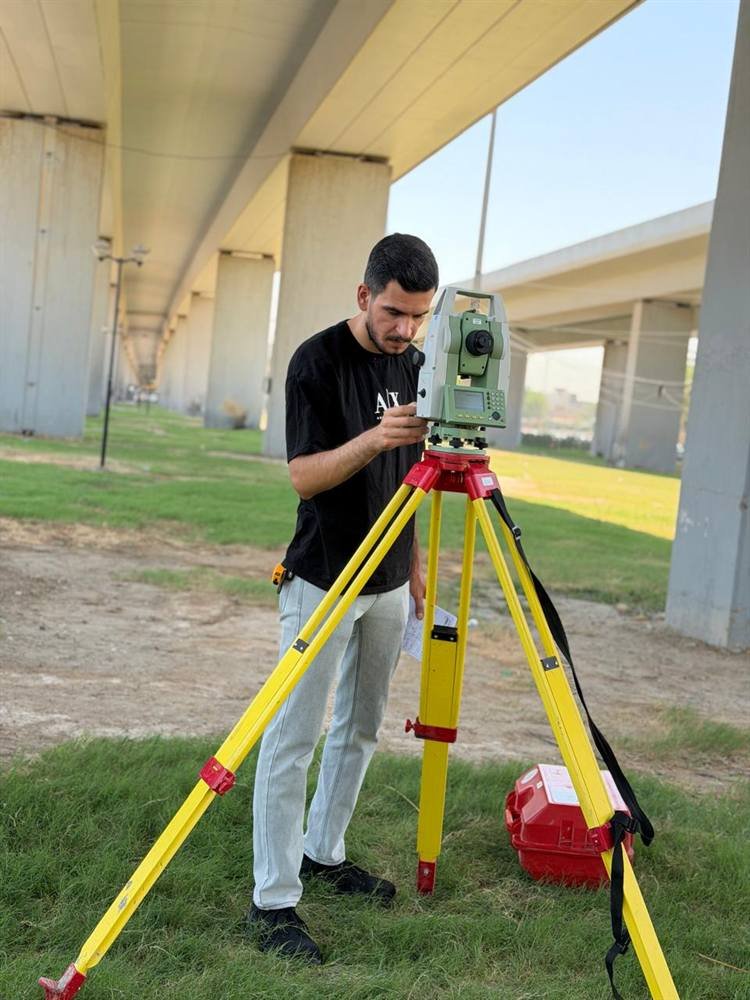
A comprehensive course on Leica total stations, supported by AutoCAD and the LISP routines used in survey work. It covers horizontal sites, vertical buildings, roads and the details of strategic projects such as refineries, plus hands-on instruction on the level instrument for sewerage and road works.
What the course covers
- Total stations — Leica
- AutoCAD and the LISP routines used in survey work
- Survey and setting-out of horizontal sites
- Vertical buildings
- Roads
- Details of strategic projects — refineries
- The level instrument: hands-on work on sewerage and roads
02
Differential GPS
Eng. Abdulrahman BasimBSc Survey Engineering — University of Baghdad
Differential GPS
Overview
A focused course on differential GPS, delivered as thorough hands-on practice using the latest instruments available at the office.
03
Geographic Information Systems (GIS) — Foundation and Advanced
Eng. Mustafa Khalid AlwanBSc Remote Sensing and GIS — University of Baghdad
Geographic Information Systems (GIS) — Foundation and Advanced
Overview
Training individuals and organisations to collect, analyse, manage and present geographic and spatial data. The content progresses from beginner to advanced across four strands: theory, practice, production, and modern techniques.
What the course covers
1 — Theory: fundamentals of geography and surveying
- The GIS concept and its core components: data, software, hardware and people
- Coordinate systems: geographic versus projected, and choosing the right projection
- Data models: vector (points, lines, polygons) and raster (satellite imagery and digital maps)
2 — Practice: working with software and data
- ESRI software: ArcGIS Pro and ArcGIS Desktop
- Open-source software: QGIS
- Importing data from Excel, GPS units and AutoCAD, and organising it in a spatial geodatabase
- Spatial analysis: spatial queries, clip, buffer, and spatial statistics
3 — Production: maps and deliverables
- Cartography: colour, symbology and map furniture — title, legend, north arrow and scale bar
- Exporting maps as PDF or JPEG, or publishing them interactively on ArcGIS Online
4 — Advanced: modern techniques
- Remote sensing: processing satellite imagery and analysing vegetation cover and urban expansion
- Automation and scripting in Python — ArcPy and PyQGIS
- Digital fieldwork: ArcGIS Collector and Survey123
04
Revit Structure
Eng. Mustafa Ismail TurabBuilding and Construction Technologies Engineering — Al-Esraa University
Revit Structure
Overview
Everything involved in structural modelling within Revit, quantity take-off, and preparing bar bending schedules (BBS).
What the course covers
- Structural modelling in Revit Structure
- Quantity take-off from the model
- Preparing bar bending schedules (BBS)
05
AutoCAD
Eng. Mustafa Ismail TurabBuilding and Construction Technologies Engineering — Al-Esraa University
AutoCAD
Overview
Learn AutoCAD across the full range of structural and architectural detailing.
What the course covers
- Structural detailing in AutoCAD
- Architectural detailing in AutoCAD
06
Quantity Take-off in Civil 3D
Eng. Dhurgham KhalidSurvey Engineering — University of Baghdad
Quantity Take-off in Civil 3D
07
UAV Flight & Aerial Photography
UAV Flight & Aerial Photography
Overview
A programme in preparation covering drone aerial survey and photogrammetric processing. The syllabus, instructor and first intake date will be announced soon.
08
Engineering Reporting & Drawings
Engineering Reporting & Drawings
Overview
A programme in preparation covering the conversion of field survey data into approved drawings and technical reports. The syllabus, instructor and first intake date will be announced soon.
Inside Our Courses
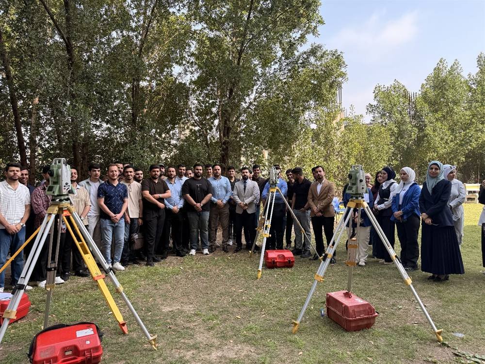
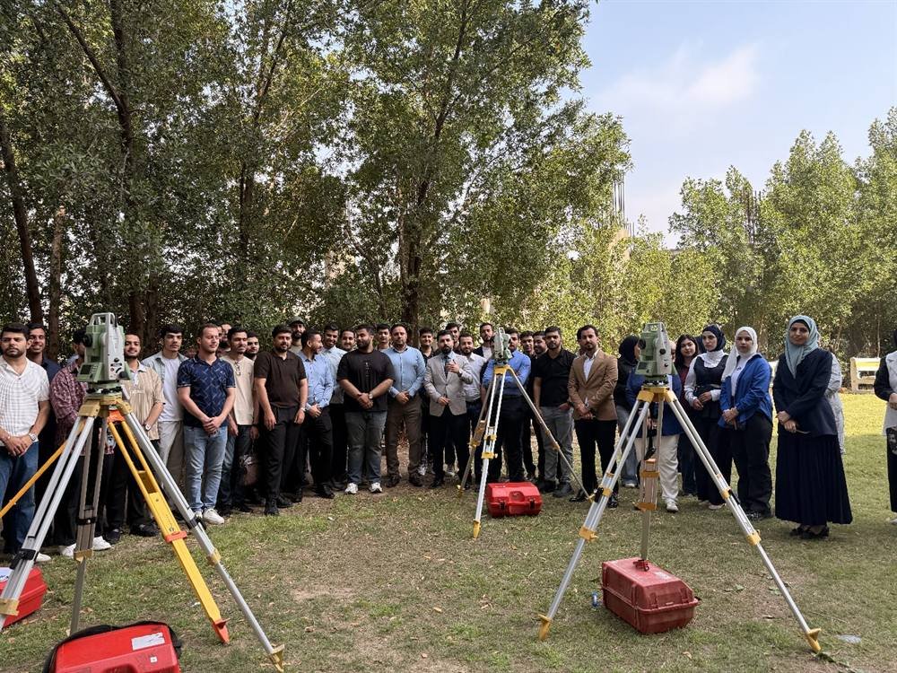
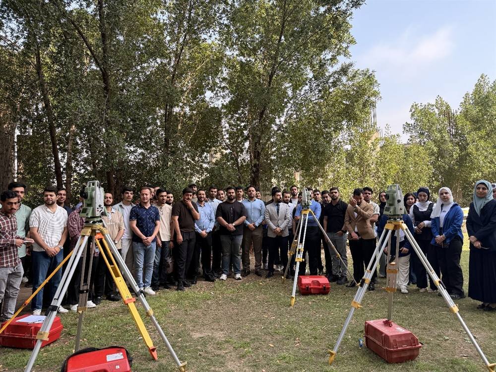
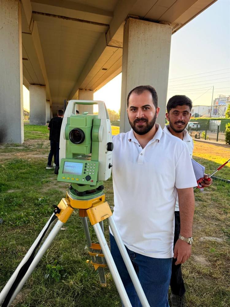
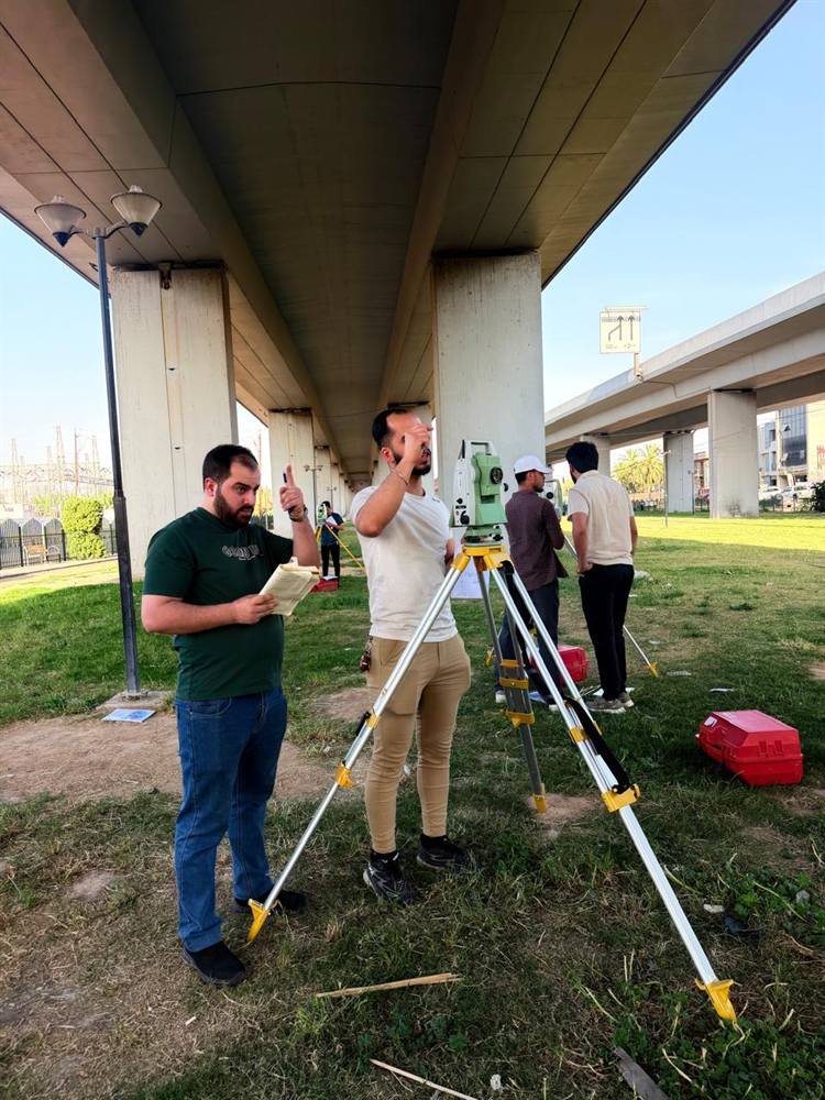
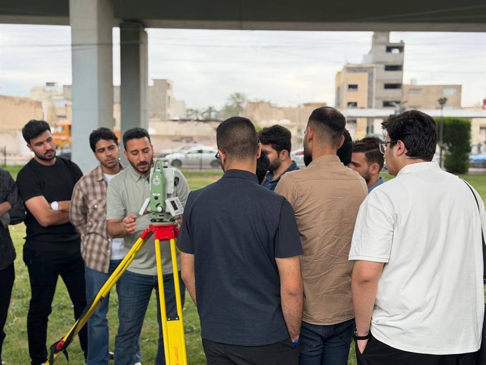
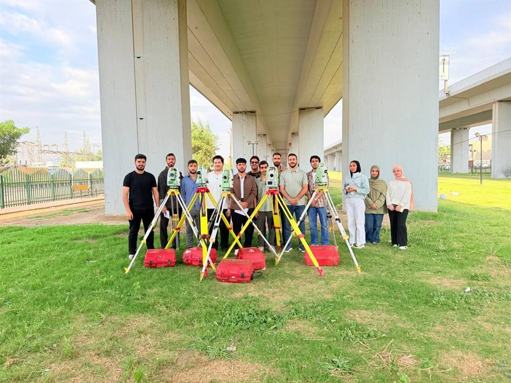
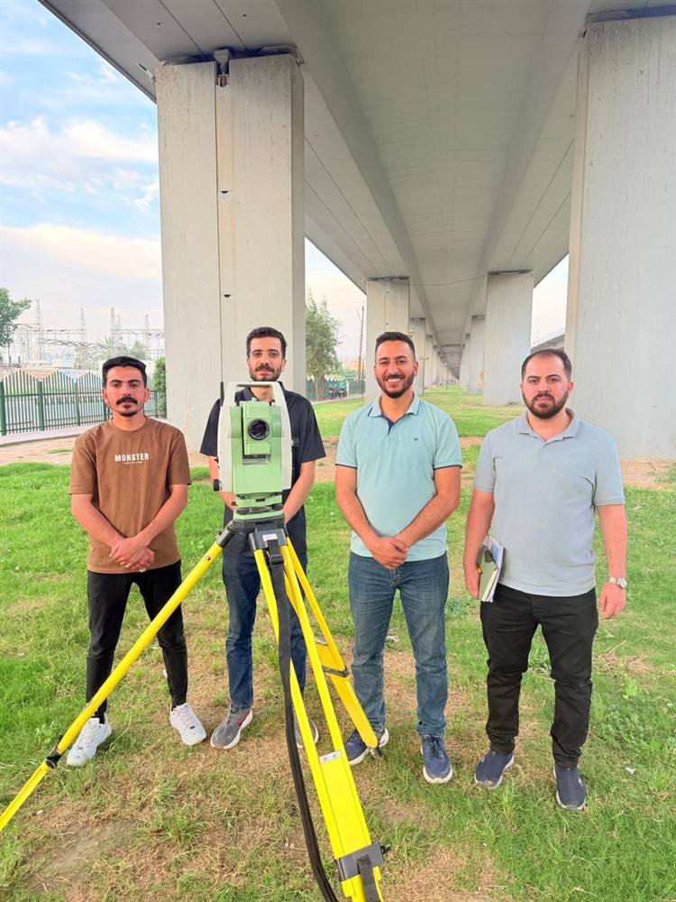
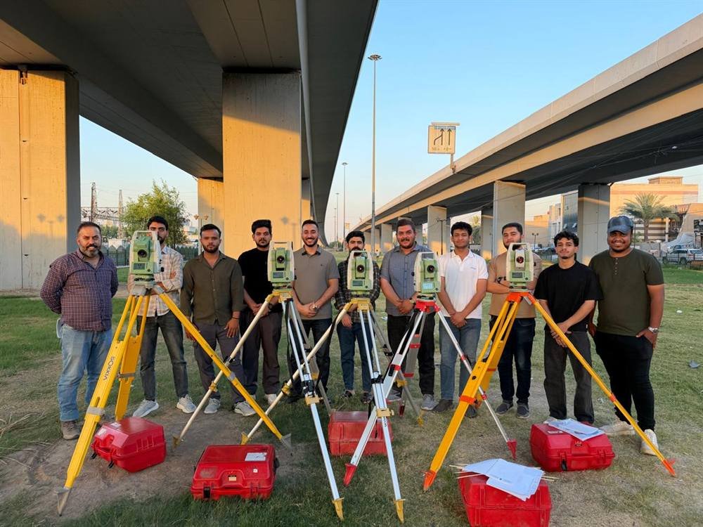
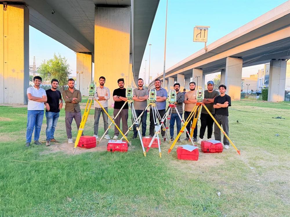
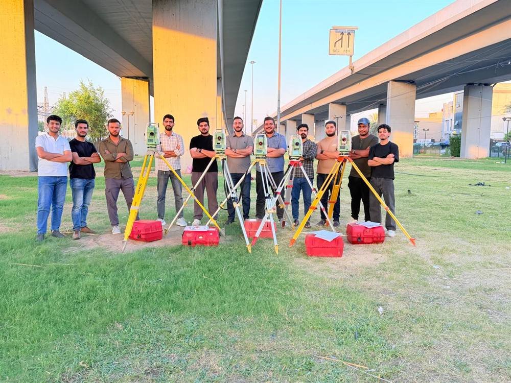
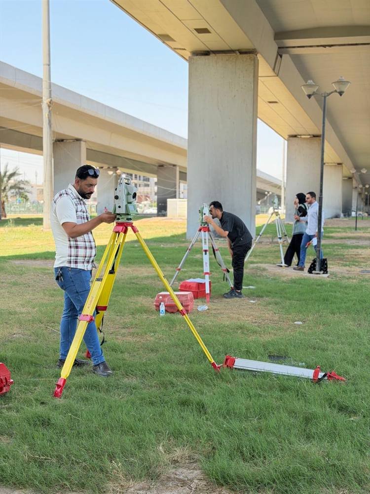
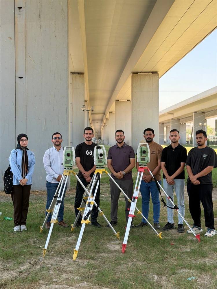
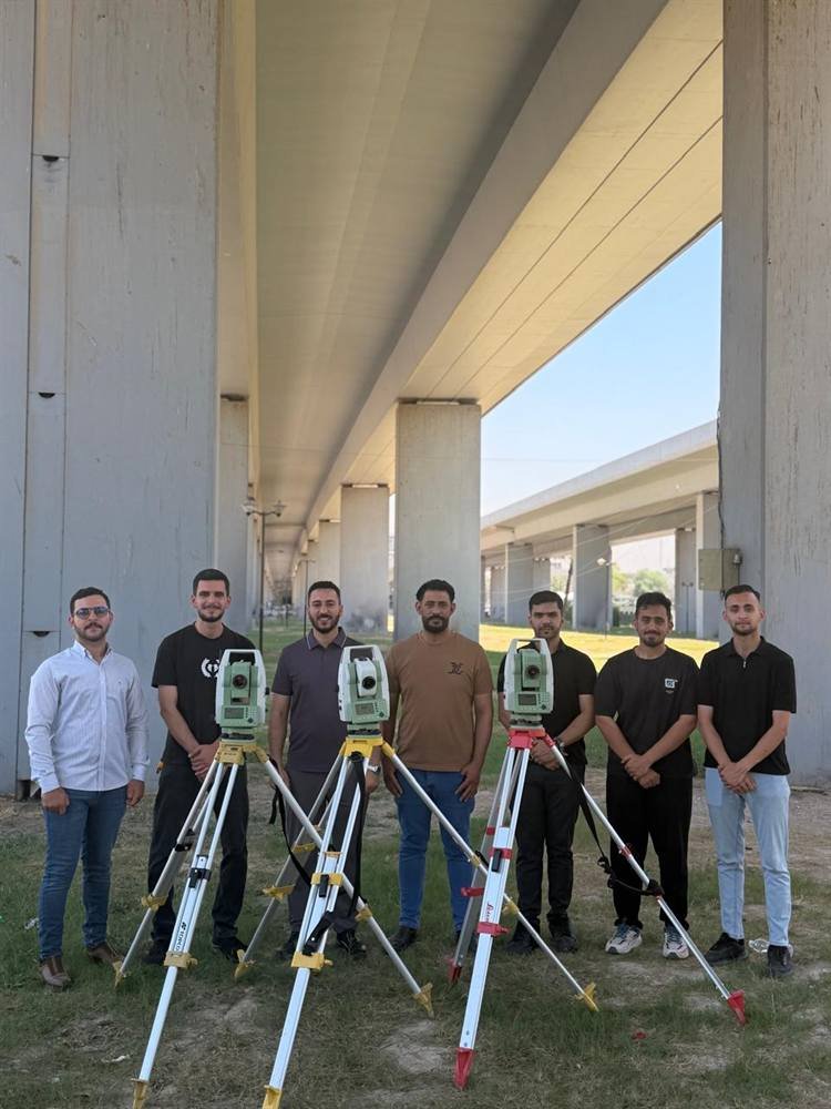
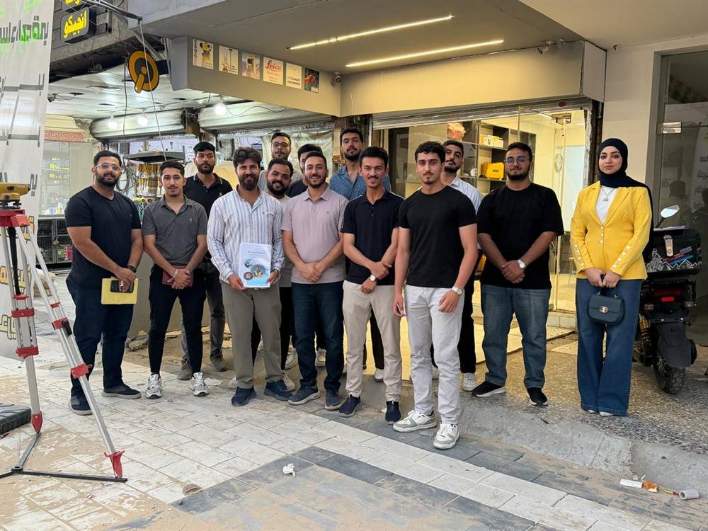
Photographs from our field sessions and practical work — real instruments and real sites, not just classrooms.
Instructors from the field
Every one of our instructors is a practising engineer working in the field they teach.
Eng. Musab Kadhim
Survey Engineering
Leads the Comprehensive Surveying Development Course on Leica instruments, with more than 2,158 graduates.
WhatsAppEng. Abdulrahman Basim
BSc Survey Engineering — University of Baghdad
Runs the Differential GPS course, delivered hands-on using the latest instruments.
WhatsAppEng. Mustafa Khalid Alwan
BSc Remote Sensing and GIS — University of Baghdad
Leads the GIS programme at both foundation and advanced levels, with more than 750 graduates.
WhatsAppEng. Mustafa Ismail Turab
Building and Construction Technologies Engineering — Al-Esraa University
Teaches Revit Structure and AutoCAD, from structural modelling through to quantity schedules and BBS.
WhatsAppEng. Dhurgham Khalid
Survey Engineering — University of Baghdad
Leads the Civil 3D quantity take-off course for road and infrastructure projects.
WhatsAppHow a course runs
01 — Enrolment
Message the course instructor directly on WhatsApp to confirm your seat and the next intake date.
02 — Sessions
Focused instruction followed by direct hands-on work on the instrument or software, in person or hybrid.
03 — Hands-on practice
Field exercises using the office's instruments under the instructor's supervision.
04 — Certificate
A certificate of completion accredited by Iraqi Surveyor Office.
Want a course tailored to your company's team?
We design in-house training programmes around your projects and your instruments.