Precision is a foundation that permits no deviation
We accompany your engineering projects from the first survey point through to handover: field surveying, supply of world-class measuring equipment for sale or rental, technical consultancy, and field-training programmes that qualify your staff on the latest instruments.
A surveying and engineering firm whose decisions rest on measurement, not estimation
Al-Asas Al-Raseen was founded in 2020 by surveying engineer Musaab Kadhim, to be a trusted reference for surveying and engineering work in Iraq. We believe every accurate drawing begins with a survey point that permits no deviation.
Read our full storyFour disciplines, one operating system
Surveying & Field Works
Topographic surveying, UAV aerial photography, and boundary and area documentation to certified accuracy.
FIELD SURVEYEngineering Consultancy & Design
Technical studies and construction drawings built on reliable field data.
CONSULTINGEquipment Sales & Rental
Total stations, GNSS receivers and UAVs from certified international brands.
EQUIPMENTField Training & Qualification
Practical programmes on real instruments, supervised by experienced field engineers.
TRAININGEquipment we trust on our own sites before we offer it to you
A sample of what we stock for sale and rental — browse the full catalogue and our commercial agencies.
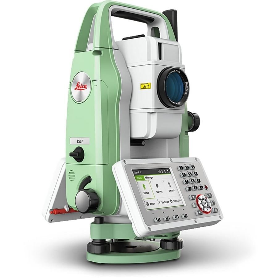
Leica FlexLine TS07
A touchscreen total station for detail survey and structural setting-out.
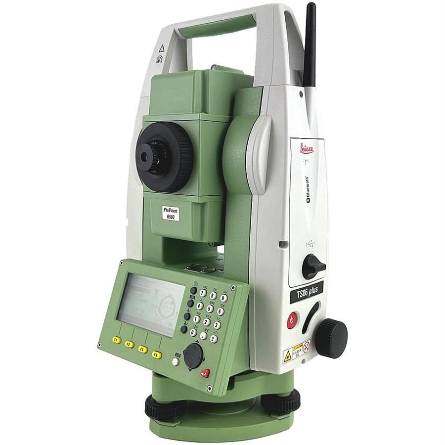
Leica FlexLine TS06 plus
A total station with PinPoint technology and Bluetooth for everyday site work.
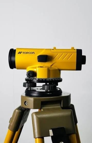
Topcon AT-B4
An optical automatic level for levelling on construction and road sites.
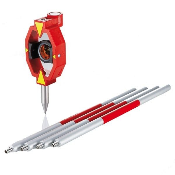
Prisms and Measuring Poles — Leica
A mini prism on a swivelling holder with screw-together measuring poles.
A record of sites where we delivered surveying and engineering work
Bab Al-Sham — land survey & subdivision
Survey and subdivision of a 45-dunam site using Differential GPS to guarantee coordinate accuracy.
Al-Adhamiya Hotel — survey supervision
Full survey supervision for a 2,500 m², 12-storey hotel.
Al-Atifiya — large-scale structure
Survey works for a 22,000 m² structure, from foundation excavation through to final finishes.
We graduate field surveyors and engineers — not certificate holders
Our training is 100% hands-on: real instruments, real training sites, and instructors who work on the very projects we deliver for our clients.
Comprehensive Surveying Development Course
Leica total stations and the level instrument with AutoCAD — 25 hours of practical field work.
Differential GPS and GIS
Hands-on training on the latest instruments, plus a foundation-to-advanced GIS syllabus.
Engineering Software
AutoCAD, Revit Structure and Civil 3D taught through applied practice.
Have a project or a question?
Our team replies within one working day — with no obligation.